Open your GeoJSON
Drop a .geojson or .json file and check it on the map.
Turn GeoJSON into a shapefile for desktop GIS, CAD or a client who asks for one.
Choose the coordinate system; the .prj is written for you.
Drop files here, or choose them. For a shapefile, pick its .shp, .dbf and .prj together, or a .zip.
GeoJSON, TopoJSON, KML, KMZ, GPX, TCX, Shapefile, CSV, FlatGeobuf, GeoPackageDrop a .geojson or .json file and check it on the map.
Keep WGS 84 or pick from 700+ EPSG systems, such as a UTM zone or your national grid.
You get a .zip with .shp, .shx, .dbf, .prj and a UTF-8 .cpg.
Create illustrations, cover images or explainer videos for your reports and story maps with WaveSpeed AI.
Make cover art, icons and illustrations for a map story from a prompt.
Turn a still map or photo into a short animated clip.
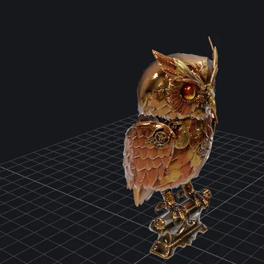
Turn a sketch or photo of a landmark into a 3D model.
$1 in free credits for eligible new accounts. No card needed. Generators have separate account and credit requirements. The GIS viewer is free.
Yes. Convert as many files as you like, with no account, no watermark and no limits beyond your device's memory.
A shapefile holds one geometry type, so the zip contains one shapefile per type, with the same attributes.
Shapefile field names are limited to 10 characters, so longer names are shortened and kept unique. Text is stored as UTF-8.
No. The file is read and converted in your browser tab and never leaves your device.
.prj included · Any coordinate system · No upload